A DC-10 carrying 10,800 gallons of retardant, and two smaller planes also carrying retardant, were diverted from a drop site south of Big Bear Lake, where scattered homes were being threatened by the encroaching fire, the Los Angeles Times wrote. An incident commander spotted the drone, a fixed-wing craft about four feet wide, flying about 800 or 900 feet off the ground, at an elevation of 11,000 feet above sea-level.
Hobby drones are forbidden to fly above 400 feet off the ground in most situations, and the US Forest Service had issued a temporary flight restriction over the fire-fighting area.
“The DC-10 had to divert and drop its retardant on a fire along the Nevada border, while the two smaller planes had to jettison theirs because they couldn't land with that much weight,” the Los Angeles Times reported. “Officials said the failed mission cost between $10,000 and $15,000.”
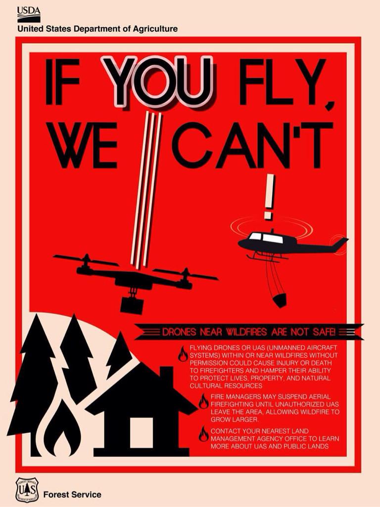
A second drone was spotted later that day by a pilot returning from fire-fighting duty. That drone was flying at 1,200 feet. The San Bernardino Forest Service emphasized in a press conference on Thursday that flying drones in restricted areas is forbidden. On its Twitter feed, the service posted an image saying, "If you fly, we can't," adding that it's "critically important that recreational UAS drone users not operate near wildfires."

Speaking to Ars on the phone, Gerrelaine Alcordo, a representative for the San Bernardino chapter of the US Forest Service, said that the two drone pilots that operated in the restricted area had not been found. “We're trying to encourage drone pilots to respect the temporary site restriction that we have in place during our air operations,” Alcordo said. She noted that wildfire areas were updated on the US Forest Service's site, Inciweb.
She added that on Thursday, US Forest service personnel did catch a drone operator flying too close to the Sterling fire, a smaller fire to the west of Big Bear Lake. “We did find one of the pilots, and the Sheriff's Department talked to them, but they weren't interfering with operations so they weren't charged,” Alcordo added. “We were just trying to educate them.”
Mike Eaton, forest aviation officer for the San Bernardino National Forest, told Southern California news station KTLA that the drone sighting on Wednesday was particularly disastrous for firefighting efforts. “We had to shut down subsequent missions that could have contained—possibly—that south side of the fire,” he said.
The Lake Fire has been burning for over a week and is currently 19 percent contained. The US Forest Service estimates the cost of fighting the fire at $17,600,000.
Correction: Ars originally reported that the commercial drone was flying 11,000 feet off the ground, when that measure was actually its elevation. That figure has been corrected.
Listing image by US Department of Agriculture
reader comments
143